
Utility Daylighting
Opening the ground over a corridor so the owner or the designer can see every facility that is really in it, at the depths they are really at, and fix the record.
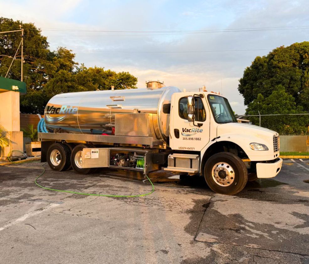
Utility owners, engineering firms, survey and subsurface utility engineering teams, and program managers who have to hand a design to somebody else and stand behind it.
How a job runs, step by step
Start from the corridor, not the hole
You send the alignment, the existing records and the survey framework you work in. We look at where the conflicts and the record gaps are before deciding where ground gets opened.
Ticket the whole corridor
One-call marks get placed across the alignment and read against your record set. Where the paint and the drawing disagree, that is usually where the first exposures go.
Open windows over the run
Water and vacuum bring each facility into daylight with the footprint kept to what the question needs. Congested corridors get longer windows because that is where things hide behind each other.
Capture it to your framework
Depth to top, outside diameter, material, coating condition, direction of run, and horizontal position tied to your stationing, control points or curb line. Photographed with a scale in the shot.
Deliver something a drafter can use
The record comes back in the format you asked for, ready to redline the as-built rather than sit in somebody’s phone as a photo roll. Holes get backfilled and surfaces restored.
Corridors, not points
An owner or a designer is rarely asking about one pipe. They are asking what is in a hundred and fifty feet of easement, or under a street they are about to reconstruct, or along a route somebody has to run new facilities through next year. That question does not get answered by a single test hole, and it does not get answered well by ten test holes placed where it was convenient to park. It gets answered by looking at the whole corridor first, deciding where the record is weakest and where facilities converge, and then opening ground at those places. In a downtown Miami block or an old Fort Lauderdale easement that can mean a longer window rather than discrete holes, because what you actually need to see is how the lines relate to each other. A drawing showing six facilities in a corridor tells you nothing useful about which one sits over which, and that relationship is what kills a design.
Stacked, adjacent and abandoned
Congested corridors hold three findings that reliably change a design, and none of them show up on a locate mark. The first is stacked facilities, two or more lines running one above the other, which read as a single mark on the surface because a locator reading a signal from above gets one peak. The second is adjacency: a line running inches off another one, close enough that anything opened for the first one is already in the tolerance zone of the second. The third is abandonment, which is the quiet one. A line taken out of service decades ago is still physically in your ground, still in the way of your trench, and is on nobody’s ticket because nobody owns it anymore. Around here, corridors that have been rebuilt two or three times since the sixties are full of that history. Daylighting is how it stops being a surprise and starts being a line on your drawing.
Correcting the as-built, and why it drifted
Records do not go wrong through carelessness so much as through time. A service gets relocated during a road widening and the redline never makes it back to the file. A main gets replaced on a slightly different line and the new drawing shows the design position rather than the built one. Depths change without anybody touching the pipe, because grade got raised for a parking lot, or fill went in over low ground that used to be wetland before it was a subdivision, or a swale scoured out over twenty rainy seasons. In South Florida the fill story is especially common west of the coastal ridge, where whole communities sit on ground that was built up out of drained wetland. A drawing that was accurate the day it was stamped can be two feet off in depth now with nobody at fault. Daylighting turns the current condition into a measurement, and the measurement is what your next twenty years of records should be built on.
A record that survives leaving your desk
The hole is the means. The deliverable is the record, and the test of a record is whether somebody who was never on site can use it without calling anybody. That means position tied to the framework you actually work in, whether that is a station and offset, project control, a survey point, a curb line or a building corner. It means depth measured to top of facility from the existing surface, with the surface condition noted, because a depth without a stated reference is a number without a meaning. Size, material and coating condition. Direction of run. Everything else found in the same window, listed even when it was not what we were looking for. Photographs including one with a tape in the hole. If your team collects to a subsurface utility engineering quality level or a specific submittal template, send that template and the day gets built around it. If a surveyor is picking up our exposures, we will leave them open and protected and coordinate the timing rather than backfilling before they arrive.
Working in a live corridor without shutting it down
Owner-side daylighting almost always happens in ground somebody is using. That means traffic control on roadway work, and in most South Florida municipalities it means a permit and frequently a night window, which is normal for us. It means coordinating with the facility owners whose lines are getting uncovered, since gas and electric owners in particular have their own conditions about who may work near their systems and how. It means groundwater, because the table sits high across the coastal counties and moves with the tide near the water, so open exposures take water and the truck has to keep returning to them. And from June onward it means an afternoon storm in the plan most days, with some of that day belonging to the weather whether or not anyone budgeted for it. All of that is schedulable. It is only a problem when it gets discovered at the curb.
Worth knowing
Send us the framework you want the data in before the crew rolls, not after. An exposure recorded to a curb line when your team needed it on project control is a measurement somebody has to go back and reconcile, and reconciling it usually costs more than capturing it correctly would have. If a surveyor is picking up our holes, say so and we will leave them open and protected.
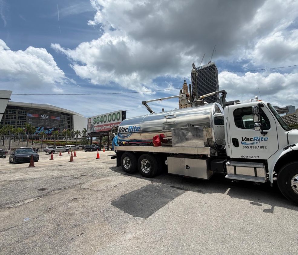
Ask any contractor where what they pump out actually goes. It is a fair question, and the answer tells you a lot.
VacRite
Other excavation work
The other side of the company
Most of our customers only ever need one half of what we do. It is worth knowing the other half exists.
Something failed tonight. Somebody answers.
Struck line, blocked kitchen drain, a basin backing up in the middle of a storm. We run every day of the year, and the phone reaches a person rather than a queue. This company is first responder owned, and the emergency side of it works the way that suggests.
Questions we get asked
Can you work to our survey control instead of a curb line?
Yes, and that is the better answer. Tell us the framework, whether that is stationing and offset, project control, or a specific set of points, and the record comes back in it rather than needing translation.
We already have as-builts. What does daylighting add?
The current condition. As-builts drift quietly, since services get relocated during road work without a redline, and depths change when grade gets raised or fill goes in. Daylighting turns the record from a historical document into a measurement.
Will you find utilities that are not on the ticket?
Regularly. Abandoned facilities belong to nobody and get marked by nobody, private lines past a meter are outside the ticket, and stacked lines read as a single mark. Those three are the findings that change designs most often.
Can our surveyor pick up your exposures?
Yes. Tell us in advance and the holes stay open and protected until they arrive, and we coordinate the timing. Otherwise everything gets backfilled the same visit.
Do you daylight in the roadway?
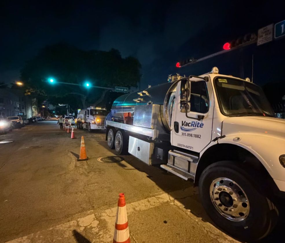
Yes, with traffic control and whatever permit the municipality requires. Roadway corridors here commonly work at night for that reason, which suits us since we run around the clock.
How do you decide where to open ground along a corridor?
By looking at the whole alignment against your existing records first. Ground gets opened where facilities converge and where the record is weakest, which is not the same as where it is convenient to park.
Does groundwater limit what you can leave open?
It affects how long an exposure stays workable. The table is high across the coastal counties and tidal near the water, so open holes take water and the truck comes back to them. Tell us if another team needs the hole later and we will plan for it.
We run utility daylighting across South Florida, including Miami, Fort Lauderdale, West Palm Beach, and the rest of the region. See every city we cover or look at the trucks on the job.
Tell us what the job is
Tell us about the utility daylighting job. Where it is, what is around it, and when you need it.
Two trades, one call. We own the trucks, hold the permits, and put our own people on the job.
VacRite, Miami
info@vacriteservices.com
Open 24/7/365
USDOT 4547071