
City Utility Daylighting
Exposing and measuring what is buried under a city corridor during design, so the capital project being drawn on top of it is drawn around what is actually there.
City and county engineering departments, capital improvement program managers, and the consulting engineers designing roadway, drainage, water, sewer and resilience projects for a municipality.
How a job runs, step by step
Start from the design, not from a hole list
The useful first conversation is about what is being built, where the proposed work sits vertically, and which existing facilities the design has to clear. The holes fall out of that. A list of stations with no design behind it produces measurements nobody uses.
Pick the locations where the design is actually at risk
Crossings under the proposed profile, congested intersections, tie-in points, anywhere the record drawings disagree with each other, and anywhere a shallow existing utility could force a redesign late.
Expose without touching anything
Water erodes the soil and flows around pipe, duct, coating and cable rather than cutting them. The facility gets uncovered intact, which matters when it is a live main under an active street.
Measure to the framework the design uses
Depth to top from existing surface with the surface stated, size, material, condition and direction of run, and horizontal position in the project’s own control, whether that is station and offset or a coordinate.
Restore and hand the data to the designer
Backfill, compaction, surface back to your public works detail, spoil hauled under our permits, and a field record built so the engineer can put it straight onto the drawing and your GIS can absorb it.
Design-phase daylighting versus construction-phase potholing
The same physical hole answers two very different questions depending on when it gets dug. During construction, a pothole tells a crew where to stop the machine, and its value expires the day the trench is backfilled. During design, the same measurement changes the drawing, and it keeps its value for the whole life of the project and beyond. That is why engineering departments buy this work at a different point in the process than contractors do. A shallow existing water main discovered while the profile is still on a screen is an afternoon of redesign. The same main discovered by a contractor with a signed contract, a mobilized crew and a schedule is a change order, a delay claim and an awkward item on a commission agenda. The engineering value of daylighting is measured in what did not become a construction problem, which is an uncomfortable thing to budget for and an easy thing to justify once a department has been through the alternative once.
What locate marks cannot tell a designer
Sunshine 811 marks are a horizontal projection on the surface and they carry no depth. For a contractor about to dig, that is often enough. For an engineer setting a profile, it is close to useless, because the entire question is vertical. Record drawings fill the gap and they fill it unevenly. Plenty of them were accurate the day they were sealed and have been quietly wrong ever since, because a service got relocated during a road widening in 1988 and the redline never made it back into the file. Older parts of these cities have been rebuilt several times, and every rebuild left something in the ground and something out of the record. There are three findings that reliably change a design and none of them show on paint. Two facilities stacked vertically read as one mark, because a locator gets a single peak from above. Abandoned plant belongs to nobody, appears on no ticket, and is still physically in the way of a proposed storm line. And a systematic offset along a stretch of corridor is the most useful discovery of all, because once it is measured it is correctable across the whole design.
Resilience work, road raising and pump stations
A large share of capital work in coastal South Florida now exists because of water. Roads get raised in neighborhoods that flood on a king tide. Drainage gets rebuilt with larger structures and outfalls fitted with backflow prevention. Pump stations get added where gravity no longer does the job on a high tide, and each one comes with wet wells, force mains, an electrical service and a control building, all going into a corridor that is already full. Raising a road sounds like it should be simple from a utility standpoint and it is the opposite. Everything already in that right of way is now at a different depth relative to the new surface. Valve boxes, manhole rims, inlet elevations, service connections and meter boxes all have to be reconciled, and gravity sewer is unforgiving about vertical change. The only honest way to design that is to know what is down there before the profile is set, which means opening holes during design rather than trusting a set of drawings assembled from several decades of separate projects.
Correcting the as-builts, and feeding the city GIS
Every hole opened during design is also an opportunity to fix the city’s own record, and departments that treat it that way get a second return on the same excavation. The measurement that proves your proposed storm line clears an existing force main is the same measurement that corrects the force main’s entry in your GIS for every project that follows. What makes that work is agreeing the schema before the first hole rather than reformatting a field sheet afterward. Your feature classes, your attribute names, your identifier scheme, your horizontal framework and vertical reference, and how position comes back, station and offset, project control, a survey point or a coordinate. Depth always stated to top of facility from existing surface with the surface condition named, because a depth without a reference is a number without a meaning. Photographs with a tape in the frame. Everything found in the hole recorded including the facilities nobody was looking for. Do that and each capital project leaves the city’s record better than it found it.
Doing it in a live city street
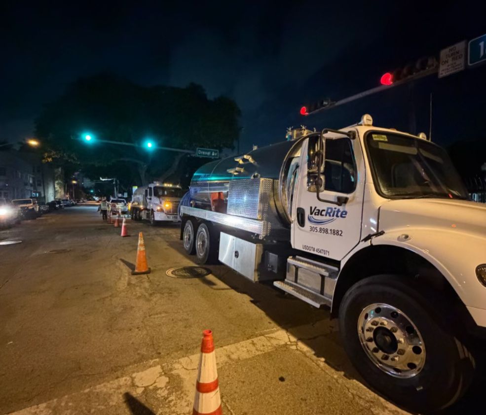
None of this happens on an empty site. It happens in a working corridor with traffic, transit, businesses, driveways and residents, usually under a permit the engineering department issued and sometimes under a county or state permit as well when the corridor is not actually the city’s road. Maintenance of traffic goes in first and matches the plan. Off-peak and night windows are a normal condition on arterials here, and we run around the clock, so splitting a route into its night portion and its daylight portion is routine. The ground itself has opinions too. Oolitic limestone sits shallow across much of Miami-Dade and takes a controlled approach through the weathered cap. West of the coastal ridge it is fill over drained wetland, soft and wet, which holds a wall poorly. The water table is high near the coast and moves with the tide, so a hole dry at nine has water in it by two, which the truck handles because it lifts water and spoil together. And from June onward there is an afternoon storm in most days’ plan.
Worth knowing
Bring the daylighting into the design phase rather than into the bid documents. Measurements taken while the profile can still move are what prevent change orders. The same holes dug after award tell a contractor where to be careful, which is worth something, but by then nobody can redraw anything without a conversation about money.

Ask any contractor where what they pump out actually goes. It is a fair question, and the answer tells you a lot.
VacRite
Other industries work
The other side of the company
Most of our customers only ever need one half of what we do. It is worth knowing the other half exists.
Something failed tonight. Somebody answers.
Struck line, blocked kitchen drain, a basin backing up in the middle of a storm. We run every day of the year, and the phone reaches a person rather than a queue. This company is first responder owned, and the emergency side of it works the way that suggests.
Questions we get asked
How is this different from potholing for a contractor?
Timing and purpose. A contractor’s pothole tells a crew where to stop digging and expires at backfill. A design-phase measurement changes the drawing, so a shallow existing main becomes an afternoon of redesign instead of a change order after award.
Why not just use the record drawings and the locate marks?
Marks are horizontal only and carry no depth, which is the entire question for a profile. Record drawings in corridors rebuilt several times since the sixties are uneven, because relocations happened and redlines did not always make it back into the file.
Can the data come back in our GIS schema?
Send the feature classes, attribute names, identifier scheme and reference framework before the first hole. The record comes back keyed to them so it imports rather than getting hand-entered, which is where errors get introduced into a permanent record.
Do you work on road raising and resilience projects?
Yes, and they are among the strongest reasons to daylight during design. Changing a road surface elevation puts every valve box, rim, inlet and service connection in that corridor at a new relative depth, and gravity sewer is unforgiving about it.
What exactly gets recorded at each hole?
Depth to top of facility from existing surface with the surface stated, size, material, coating and condition, direction of run, horizontal position in your framework, photographs including one with a tape in the frame, and everything else found in the hole even when it was not the target.
Will you find things that are not on our maps?
Frequently. Abandoned plant that belongs to nobody, private lines past a meter that fall outside the ticket, and stacked facilities that read as a single mark are the three usual ones. A consistent offset along a stretch is the most useful finding, because it is correctable.
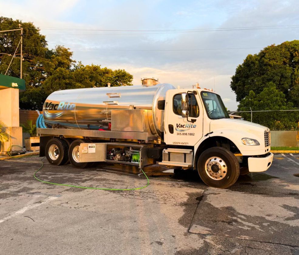
We run city utility daylighting across South Florida, including Miami, Fort Lauderdale, West Palm Beach, and the rest of the region. See every city we cover or look at the trucks on the job.
Tell us what the job is
Tell us about the city utility daylighting job. Where it is, what is around it, and when you need it.
Two trades, one call. We own the trucks, hold the permits, and put our own people on the job.
VacRite, Miami
info@vacriteservices.com
Open 24/7/365
USDOT 4547071