
Pipeline Daylighting
Opening ground along a route at intervals to measure how much cover is actually over the line today, and to see what has been built, graded or buried across it since anybody last looked.

Operators running depth of cover surveys, right of way and encroachment departments, and engineering groups whose route drawings are older than the development that grew over them.
How a job runs, step by step
Plan the survey along the route
Cover changes where the ground changed, so the exposures get placed where something has happened: road crossings, ditch and canal banks, graded pads, new drives, agricultural ground that has been worked for years. Even spacing along an undisturbed stretch tells you very little.
Notify and work from current marks
The one-call ticket goes in and the operator’s own notification and standby requirements for work near the line get handled before the day rather than at the gate. Access, matting and where a tanker can legally sit come with that conversation.
Open cleanly to the top of pipe
Water and vacuum take the ground off directly over the line with a footprint sized to answer the question. On pavement the surface gets cored so the plug goes back and what is left is a seam.
Measure cover from the surface that matters
Depth to top of pipe from existing grade, with a note on what that grade is now: original ground, a raised pad, a scoured swale, a road section. Cover is a number about the surface as much as about the pipe.
Record the encroachment along with the depth
What is over the line and what is beside it goes in the record too. Then backfill in lifts, restore, and hand back data tied to milepost or station so it lands in the route file rather than in somebody’s notebook.
Cover is a moving number and nobody sends a notice when it changes
A pipeline gets installed at a depth that satisfies the code and the class location on the day it goes in, and then the world starts editing it. A farmer deepens a field ditch across the right of way. A county widens a road and rebuilds the section. A developer cuts a pad and moves the whole surface down two feet. A drainage district cleans a canal bank. Erosion works on a slope for fifteen rainy seasons. Fill gets placed over low ground, which around here happens constantly across the drained wetland behind Broward and Palm Beach. Every one of those changes the cover over the pipe, and none of them generates a phone call to the operator. The pipe did not move. The ground did. Which is why a depth of cover survey is not a records exercise: it is a field measurement of a condition that only exists today, and the answer is frequently different from what the alignment sheet says by an amount that matters to a class location or a maintenance decision.
Where the holes belong on a route survey
Spacing exposures evenly along miles of right of way produces a lot of restoration and not much information, because cover only changes where something changed the ground. The useful pattern follows the disturbance. Road and driveway crossings, where the section was rebuilt and nobody recorded what happened to the pipe underneath. Ditch, canal and swale crossings, which are the classic shallow spot because water has been working on them since installation. Agricultural ground that has been plowed, laser leveled or ditched. Graded construction pads, new parking, anything where a contractor moved earth near the line. Slopes with visible erosion. Places where an aerial patrol or a survey flagged something worth confirming. Send the alignment and whatever the patrol has been reporting, and the exposures go where they earn their keep. Access decides plenty of it too, since a hole in the middle of a field with no way to get a tanker to it is a planning problem before it is a digging problem.
Encroachment is the other half of what the hole shows
A depth measurement answers one question and the open ground answers several more. What has been built across the right of way is a live issue on almost every developed route in South Florida, because the corridor that ran through pasture in 1970 now has subdivisions on both sides of it. Foreign utilities crossing the line without a documented crossing agreement, drainage structures set over it, irrigation mains, fences with posts driven too close, paving that was never coordinated, landscape and trees whose roots are a future problem: the exposure finds what is actually in that ground and where it sits relative to the pipe. Vertical separation at a foreign crossing is the finding that matters most, because a line crossing above the pipe with very little between them is a risk to whoever digs there next, and neither owner may know it exists. All of that goes in the record with the depth, since the right of way department and the integrity group are usually two different phone calls about the same hole.
Florida right of way, and what the day actually costs
The terrain on this route decides the schedule more often than the digging does. Through Miami-Dade and the developed coast it is oolitic limestone under shallow cover, hard enough that water is the practical way through it. Head west into the drained wetland muck behind Broward and Palm Beach and it turns soft and wet, where a machine sinks, walls do not stand and matting is not optional. On the southwest side toward Fort Myers and Naples it is sand that runs freely and sloughs. The water table sits high across most of it, so an exposure takes water while it is being made and the vacuum handles that without complaint. From June onward an afternoon storm belongs to most days, and some of the day belongs to weather whether or not anyone budgeted it. Access, matting, gate keys, landowner notification and where the truck can safely sit are the parts of a route survey worth settling early, because they are what turn a two day survey into a four day one.
What goes back into the route file
The deliverable is the point of the exercise and it has to survive into a file somebody reads years from now. Every exposure carries depth to top of pipe from existing grade with a tape in the photograph, a description of what that grade is now, position tied to milepost or station and offset, and a note on everything else found in the window including foreign facilities and their vertical separation from the line. Coating condition where the pipe is visible gets recorded even though this is not an integrity dig, because a survey hole that saw something worth reporting should report it. Photographs go with all of it. Send the reference framework the route file uses before the day and the data comes back in that framework rather than needing somebody to translate it later. Spoil leaves in the tank under our haulers permit to a permitted facility with a record of the trip, and the right of way gets restored behind us.
Worth knowing
Send the alignment and whatever your patrol or survey has been flagging, and let the exposures follow the disturbance instead of a spacing interval. Cover only changes where the ground changed, so crossings, ditch banks, graded pads and eroded slopes are worth ten evenly spaced holes through undisturbed pasture. Access and matting decide the schedule more than the digging does, so raise those on the first call.
Ask any contractor where what they pump out actually goes. It is a fair question, and the answer tells you a lot.
VacRite
Other pipeline work
The other side of the company
Most of our customers only ever need one half of what we do. It is worth knowing the other half exists.
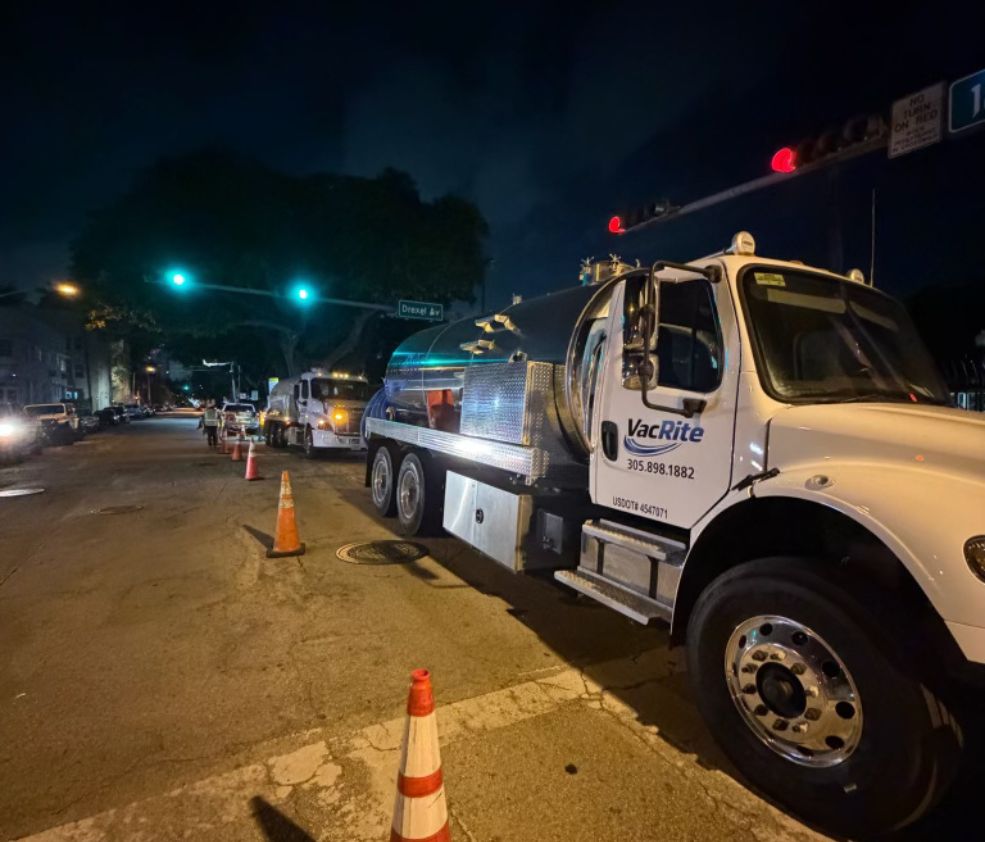
Something failed tonight. Somebody answers.
Struck line, blocked kitchen drain, a basin backing up in the middle of a storm. We run every day of the year, and the phone reaches a person rather than a queue. This company is first responder owned, and the emergency side of it works the way that suggests.
Questions we get asked
What is a depth of cover survey actually measuring?
How much ground sits over the pipe today, from the surface as it exists now. The pipe has not moved. Grading, ditching, road work, erosion and placed fill move the surface, and none of those generate a notice to the operator, so cover is a condition that has to be measured rather than looked up.
How far apart should the exposures be?
Follow the disturbance rather than a spacing interval. Road and drive crossings, ditch and canal banks, graded pads, worked agricultural ground and eroded slopes are where cover actually changes. Send the alignment and whatever the patrol has been reporting and we will place them with you.
Can you daylight at a foreign utility crossing?
Yes, and it is one of the more valuable holes on a route survey. The measurement that matters is vertical separation between the foreign line and the pipe, and neither owner always knows it exists. It goes in the record with photographs.
Do you find encroachments as well as measuring depth?
Yes, and the open ground shows more than the drawing does: undocumented crossings, drainage structures over the line, irrigation, fence posts and paving that was never coordinated. It gets recorded with the depth data, since right of way and integrity are usually two departments asking about the same hole.
How is this different from an integrity dig?
Purpose and size. Daylighting measures cover and finds what is in the corridor, so the footprint is sized to reach the top of pipe and answer that question. An integrity dig is an examination, with full circumferential access, surface preparation and a much larger excavation.
Will you restore the right of way behind you?
Yes. Backfill in lifts with compaction, cored plugs back on pavement, and ground and surface put back. Spoil leaves in the tank under our haulers permit to a permitted facility with a record, so backfill is imported material rather than what came out.
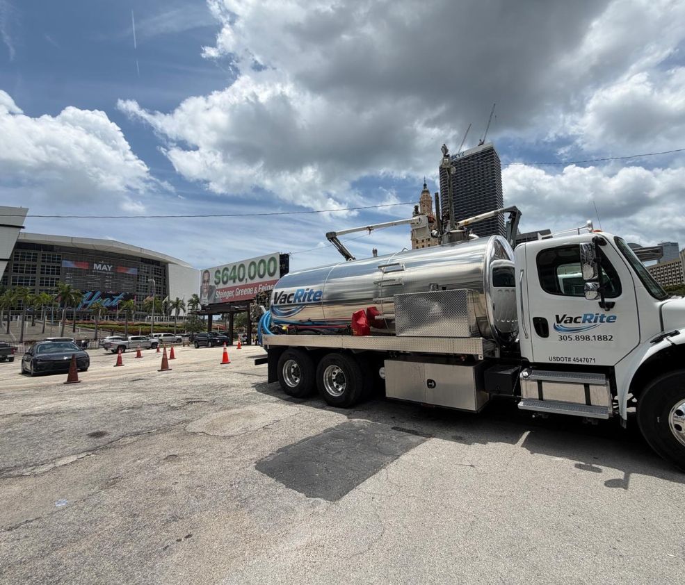
We run pipeline daylighting across South Florida, including Miami, Fort Lauderdale, West Palm Beach, and the rest of the region. See every city we cover or look at the trucks on the job.
Tell us what the job is
Tell us about the pipeline daylighting job. Where it is, what is around it, and when you need it.
Two trades, one call. We own the trucks, hold the permits, and put our own people on the job.
VacRite, Miami
info@vacriteservices.com
Open 24/7/365
USDOT 4547071